

Sale!

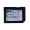
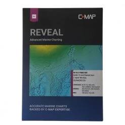
C-Map Vector Wide Chart
Original price was: $559.00.$92.99Current price is: $92.99.
- Shop with confidence, enjoy free returns.
- Secure Shopping with Safe Payments
- Quality at its Finest
- Safe Payments for a Better Shopping Experience


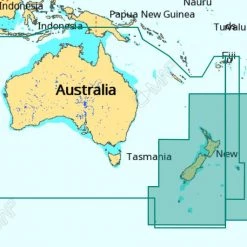
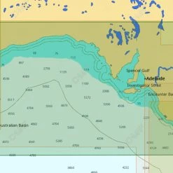
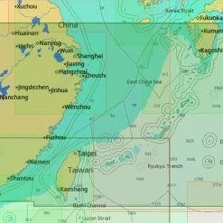
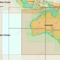
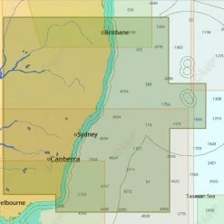
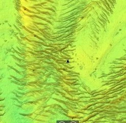
Precise, clear and detailed
The C-Map Vector Wide Chart utilises a vector
database to build the chart display. This data is stored in layers
and records every nautical chart feature such as coastlines, buoys,
lights, etc. These features and their attributes such as position,
colour, size, shape and others are stored in a database that allows
them to be selectively displayed and interrogated.
Vector charts are extremely accurate at their reference scales (as
long as they are not “over-zoomed”), but can appear quite different
from traditional paper charts. The C-Map Vector Charts allow you to
customise your chart display.
C-Map Vector Wide Chart Features:
- Good display at any scale
- Detailed information on specific objects of the map (eg.
buoys) - Ability to configure charts and filter data
Be the first to review “C-Map Vector Wide Chart”
Related products
Sale!
GPS Charts
Original price was: $189.00.$98.99Current price is: $98.99.
Sale!

Original price was: $369.00.$92.99Current price is: $92.99.
Sale!
Original price was: $209.00.$95.99Current price is: $95.99.
Sale!
Original price was: $329.00.$98.99Current price is: $98.99.
Sale!
Original price was: $459.00.$92.99Current price is: $92.99.
Sale!
Original price was: $169.00.$92.99Current price is: $92.99.
Sale!
Original price was: $209.00.$93.99Current price is: $93.99.
Sale!
GPS Charts
Original price was: $449.00.$92.99Current price is: $92.99.
Reviews
There are no reviews yet.