

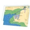

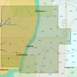
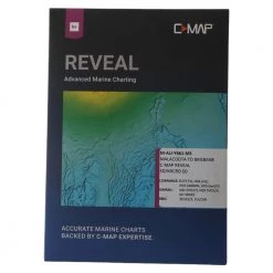
C-Map TZT/Maxsea NZ C-MAP Fishing Chart
Original price was: $199.00.$96.99Current price is: $96.99.
- Shop with confidence, enjoy free returns.
- Secure Shopping with Safe Payments
- Quality at its Finest
- Safe Payments for a Better Shopping Experience

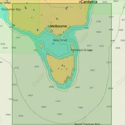
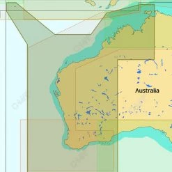
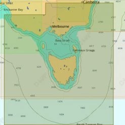
Access the most complete and accurate marine chart data with TIMEZERO
Whether you’re a professional or a passionate sailor, whatever your navigation type and your activity, your navigation area and your destination, you can display the specific chart data you need with your marine navigation software using the C-Map TZT/Maxsea NZ C-MAP Fishing Chart.
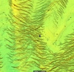
Altimetry
TIMEZERO and Furuno NavNet(3D & TZT) utilise MapMedia .mm3d altimetry to realistically represent the shoreline. The advantages are numerous such as the instantaneous identification of port entries or the identification of specific shoreline features. The use of altimetry also allows you to navigate in a realistic perspective view in relation to the horizon.
Satellite Photographs
TIMEZERO and Furuno NavNet (3D & TZT) utilises satellite photographs in a new and exciting way, called PhotoFusion. This new technology allows fuses the Satellite Photographs with the Raster or Vector charts to provide, only the data you need for safe navigation, in an intuitive, realistic manner. Included with each .mm3d data pack is standard resolution satellite photographs. High definition satellite photographs are only available for certain areas. MapMedia continues to work together with data providers to expand and update the satellite photograph catalogue.
Bathymetry
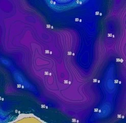
MapMedia .mm3d bathymetry is based on the graphic interpretation of chart contour lines. This 3D representation is very useful when entering a port or an anchorage, providing another navigation tool to keep you aware of submerged dangers.
The S-52 Vector Chart Standard
The S52 standard is published by the International Hydrographic Office (IHO). S-52 is an internationally adopted standard that regulates electronic vector chart display and iconography, to make it easy to view and understand. MapMedia .mm3d vector charts comply with this international standard.
Compatible with:
- TimeZero Navigator
- TimeZero Pro
- Furuno NavNet 3D
- Furuno NavNet TZT
- Furuno NavNet TZT2
Be the first to review “C-Map TZT/Maxsea NZ C-MAP Fishing Chart”
Related products


GPS Charts
GPS Charts
GPS Charts
Reviews
There are no reviews yet.