
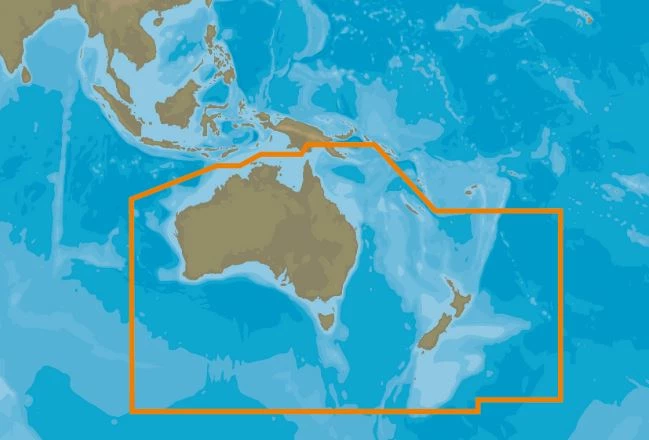

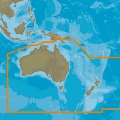

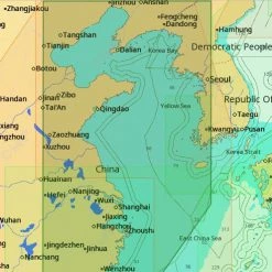
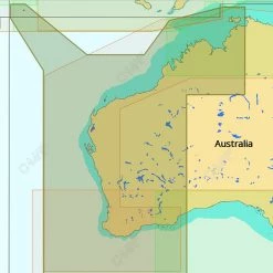
C-MAP MAX Chart Card New Zealand
Original price was: $249.00.$91.99Current price is: $91.99.
- Shop with confidence, enjoy free returns.
- Secure Shopping with Safe Payments
- Quality at its Finest
- Safe Payments for a Better Shopping Experience
Make cruising, sailing and fishing easier, safer and more
fun
Bring your electronic charts to life with C-MAP MAX Chart
Card, the ultimate navigator! See NavAids on your screen
exactly as they appear through your pilothouse window. Get
“at-a-glimpse” information about the strength and direction of
currents. You’ll even be able to view an aerial photograph of an
unfamiliar inlet before you enter. Gain access to unparalleled
levels of chart accuracy and detail, striking presentation and a
huge collection of new value-added data. With MAX, you’ll enjoy
exclusive features combined with continually updated navigation
data.
Updated chart help keep you safe!
Your charts are separate from your plotter, so keeping your charts
current is one of the least expensive and most effective ways to
stay safe on the water. Only navigating with updated charts helps
you avoid costly accidents and provides peace of mind.
Not sure which card to use? Download this
C-MAP MAX Chart Card New Zealand Compatibility
List.
C-MAP MAX Chart Card Features:
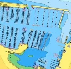
- C-Marina Port Database has details on more marinas than other
charts on the market. Displays harbour hours, harbour master
contact info, nearby lodging and restaurants, VHF call-in details,
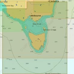
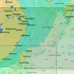
photos and more - Depths and land elevation show the usual depth information and
the colours make it easy to distinguish different water depths and
land elevations - Detailed harbour charts so docking in unfamiliar ports is no
problem. You have precise layouts of thousands of marinas,
including slip spaces, restricted areas and other valuable
navigation information - Dynamic NavAids include detailed information on navigational
aids, including name, colour, information on frequency, range of
the light, etc - Dynamic tides and currents predict the time, level, direction
and strength of currents and tides - Guardian Alarm performs an automatic forward-scanning check for
obstacles. Use this feature as an added backup to alert you if you
head toward a potentially harmful object - Multi-language capability – All C-MAP by Jeppesen charts can be
displayed in both English and the local language of each region.
More than 140 languages are available - Perspective view gives a bird’s-eye view of your navigation
area, it tilts the chart view to a 45-degree angle - Photos and diagrams in high-definition of ports, marinas and
significant navigational marks will help you to familiarize
yourself with new destinations and passages. - Route-check is an extension of Guardian Alarm, helping keep you
safe by indicating obstacles along the segments between
waypoints
C-MAP MAX Chart Card Specifications:
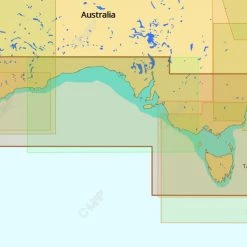
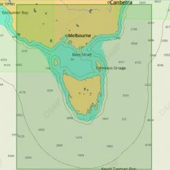
- Available coverage: New Zealand (Wide), North Island (Local),
South Island (Local) - Available formats: SD-Card, C-Card
Be the first to review “C-MAP MAX Chart Card New Zealand”
Related products
GPS Charts

GPS Charts
Reviews
There are no reviews yet.